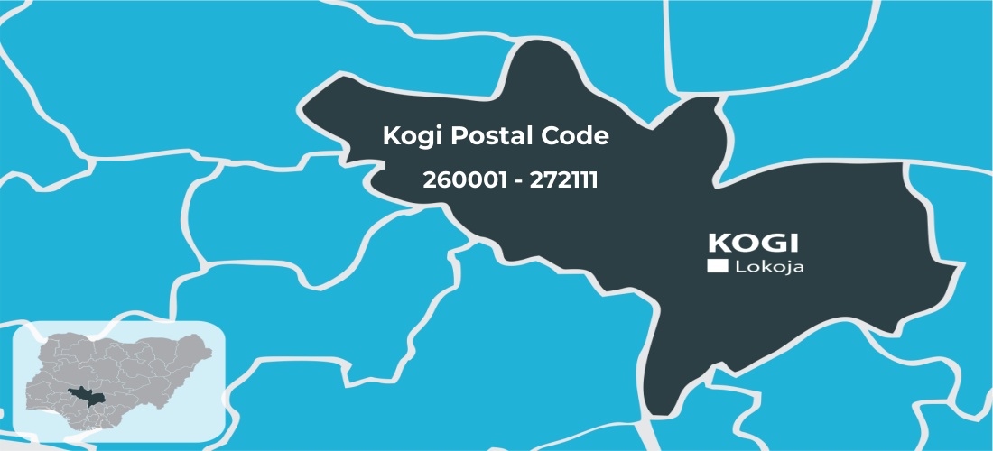
The Kogi State postal code is 260001 – 272111, while the NIPOST Headquarters code number is 260001. This state is located in the North Central region and is divided into 21 local government areas, each of which has a unique postal code or ZIP code assigned by the postal service.
The Kogi State postal code, or ZIP code, is a six-digit number generated by the Nigeria Postal Service (NIPOST). These codes are used for sorting mail and facilitating delivery. They help determine the precise location for parcel or mail delivery, and you can use them to send and receive packages within and outside the country.
Find below the list of Kogi State LGAs and their postal codes, or ZIP codes, along with their post office addresses. Note that some LGAs in this state have no post office, so you’ll need to go to the general office.
Kogi Postal Code Map
| LGA | Postal Code | Post Office Address |
|---|---|---|
| Adavi | 264103 | – |
| Ajaokuta | 263104 – 263106 | Kaduna Estate Abuja Street |
| Ankpa | 270101 – 270103 | Anyigba Road Opulega, Ankpa |
| Bassa | 272105 -272111 | Oguma Town Square |
| Dekina | 272101 – 272103 | Idah RD Anyingba |
| Ibaji | 271105 | Barki Onyedega Location |
| Idah | 271101 -271104 | Ayegba Idako way Idah |
| Igalamela-Odolu | 271102 – 271103 | – |
| ljumu | 261103 | kabba-ilorin Rd., Aiyetoro |
| Kabbal Bunu | 261101 – 261102 | Obaro way Kabba |
| Kogi (Koton Karfe) | 260105 | – |
| Lokoja | 260101 – 260104 | Opp Old First Bank LKJ |
| Mopa-Muro | 262104 | Along kabba-ilorin RD |
| Ofu | 271106 – 271109 | Ejule ofu LGA |
| Ogori/Magongo | 263103 | NIPOST Mangongo |
| Okehi | 264101 – 264102 | Oboroke Market Ihima |
| Okene | 263101 – 263102 | Agbodo Steel Complex |
| Olamaboro | 270107 – 270109 | Sabongari,Abejukolo Location |
| Omala | 270104 – 270106 | – |
| Yagba East | 262101 – 262102 | Mopa -amuro LGA KOGI |
| Yagba West | 262103 | Yagba west LGA |
If your local government does not have a post office, you can visit the general post office located in the state capital, Lokoja.
Kogi Postal Code vs. ZIP Code Difference
Both the ZIP code and the postal code serve the same purpose. The only difference is that ZIP code describes the postal numbering system used in the United States and the Philippines, while the postal code is used in other countries such as Canada, South Africa, China, the UK, Nigeria, etc.
